


How does GDI turn raw datasets into discoverable, trustworthy resources?
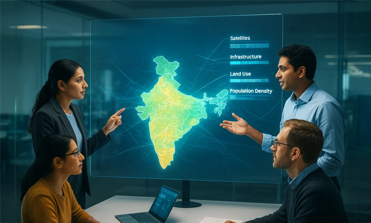
Author: Akanksha Singh Geospatial datasets are becoming easier to access, but access alone does not make them usable. Before relying on a geospatial dataset, users need the contextual information to understand its origin, quality, coverage, and suitability for their intended application (Figure 1). A high-quality geospatial dataset is more than accurate coordinates or detailed imagery, […]